For the Love of Grass V

March 10 – March 18, 2012
Trek V Report Index
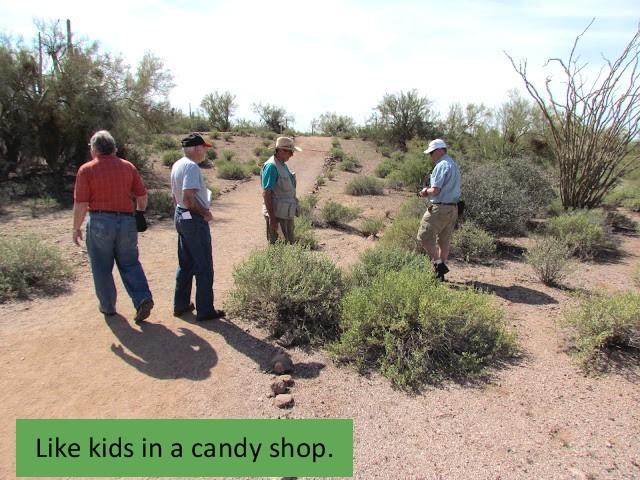
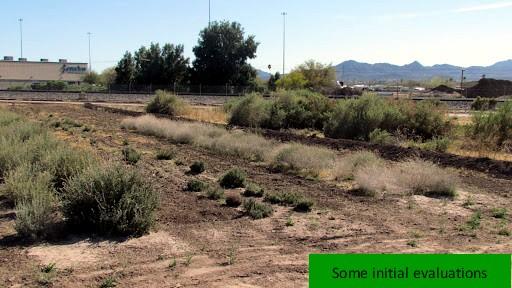
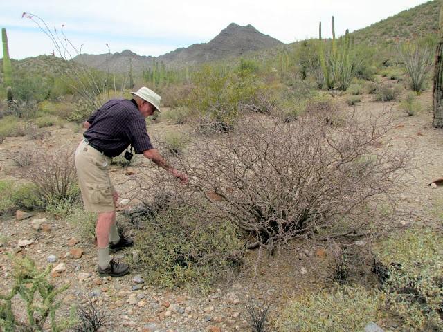
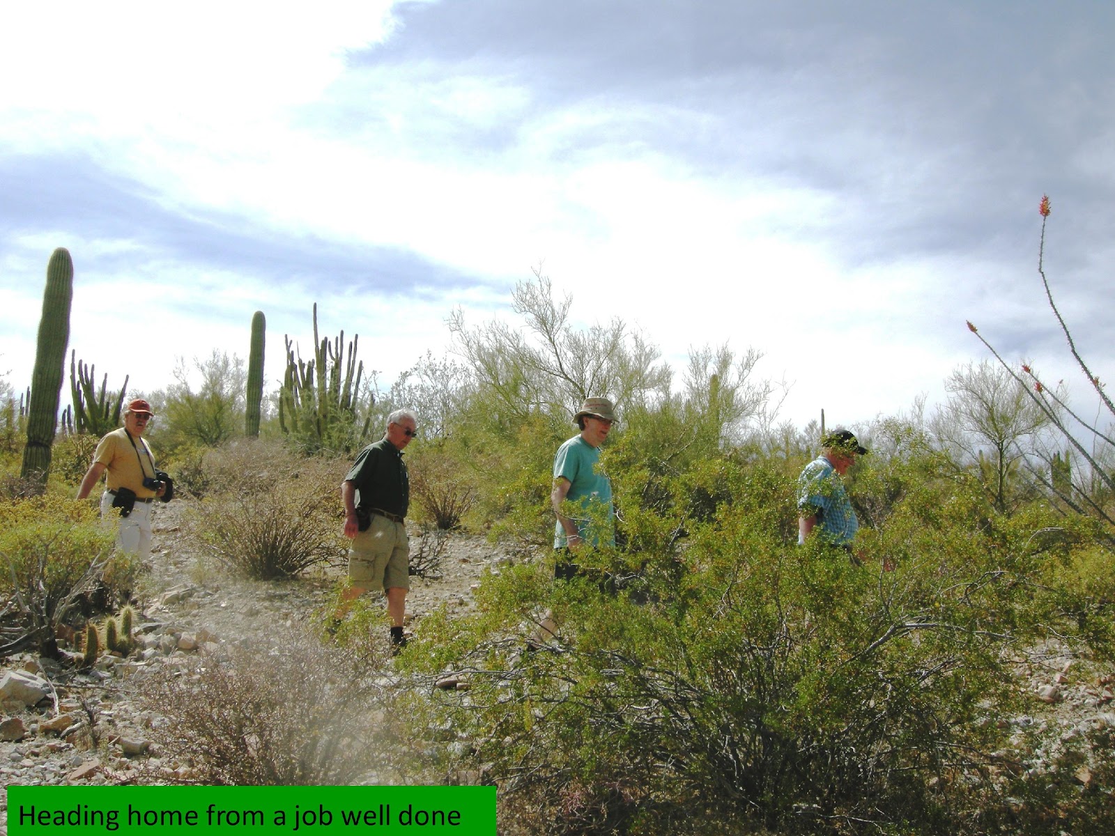
Our fifth “For the Love of Grass” Power Botanizing trek, in March,2012 included all five of the previous participants plus a newcomer Wendell Hassell. Route organizer Larry Holzworth, plus Jack Carlson, and Wendall Oaks represented the core of Power Botanists. Hassell loosened up by day two and joined the power group. As usual, MacLaughlin and Sharp provided consistency and class.
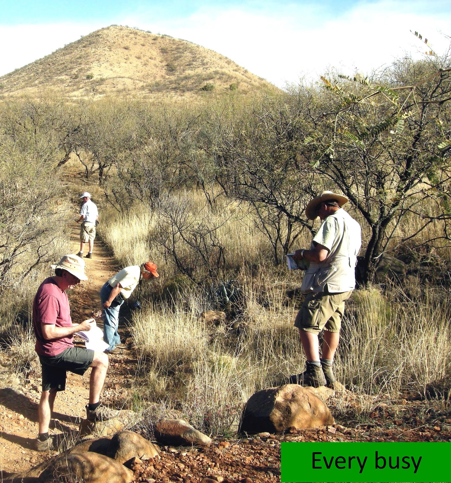
Our inventory mission at each scheduled site was the same as on previous treks; identify every plant within a ‘reasonable’ area, consisting of one to several acres, and leave only when satisfied that this had been accomplished. Miles to travel and darkness were our primary enemies. Unscheduled inventories included whatever could be recorded before the vehicle moved on.
Larry Holzworth developed the schedule and did a masterful job, injecting potential improvements that previous participants had wanted – fewer miles and shorter days. The fewer miles were accomplished but not the shorter day. Larry wondered one evening as the sun was setting and with miles to go “How can we get through a day so quickly?” Who would want it any differently?
During the seven (one more than previously) days of inventorying we traveled only xxxx miles compared to 1965 in 2011. We consumed our ration of food (mostly Mexican) and drink, enjoyed the gorgeous country, inventoried 15 sites, correctly or incorrectly identified about XXX plants, and scheduled the 2013 trek. Of the plants we identified XX% occurred only once, xx% twice, xx% three times and 4 through 13 times 28%. Xxx plants occurred XX times each; (list). The most frequently occurring plant was (list), which was present in xx of the 15 inventories. The xx sites where it did not occur were the xx smallest in terms on land area surveyed.
We assembled near the Phoenix AZ airport on March 9, enjoyed a dinner of Mexican food, and departed on the 10th. Traveling east we reached our first site by 9:30.
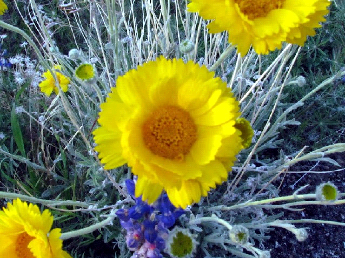
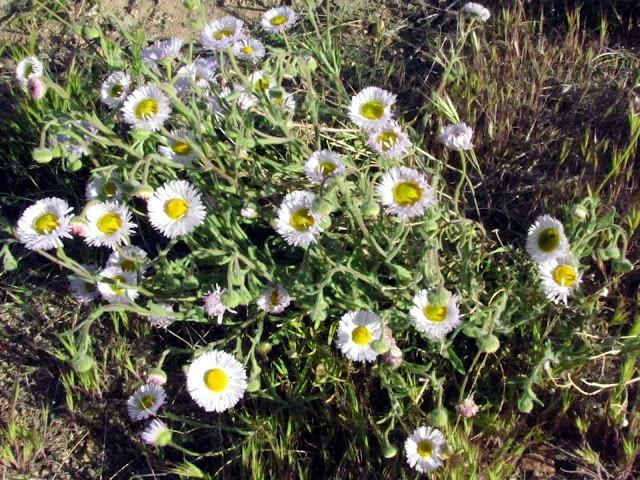
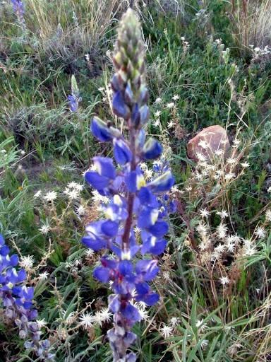
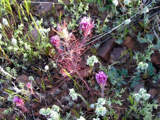
Species and common names are based on those in PLANTS. Pictures with one site does not necessarily mean they were found or photographed on that site
Combining the time together with old friends, the stimulating and not so stimulating conversation, the outdoor beauty of Arizona, and mutual love of plants will mark the 2012 “For the Love of Grass” as matching or exceeding the previous four Treks.
Day 1 – Sunday, March 10
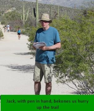
Designated driver Wendall and coordinator Larry departed early to secure the rental vehicle. Carlson, with pen and notebook in hand conducted the first, but unofficial, inventory – the motel landscaping. It included:
| Scientific Name | Common Name | Type | Origin |
| Lysiloma watsonii Rose ` | littleleaf false tamarind | Tree | Native |
| Eremalche rotundifolia (A. Gray) Greene | desert fivespot | Subshrub | Native |
Wendall and Larry return and we were headed east around 9:00AM for our first inventory.
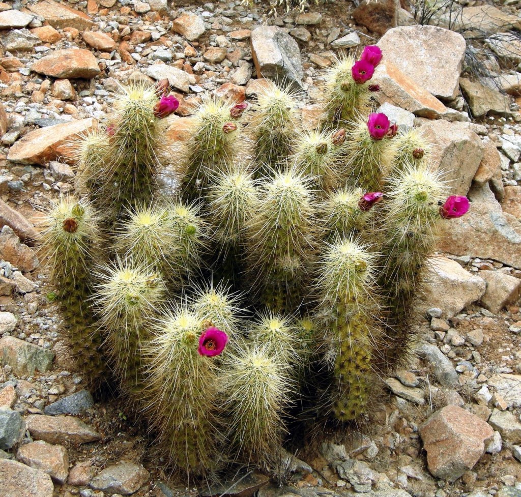
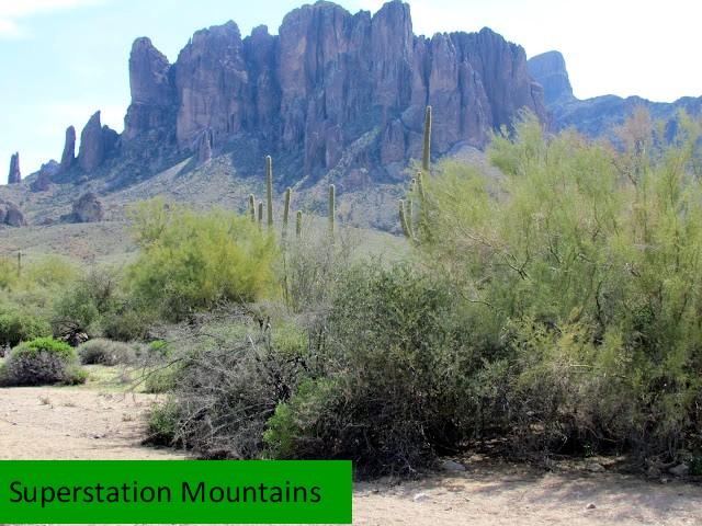
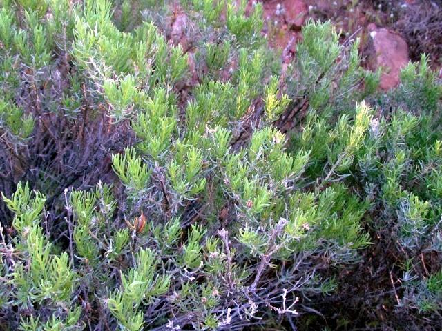
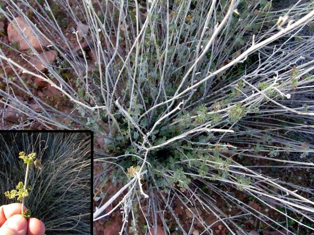
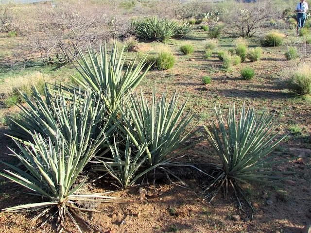
Inventory Site 1 – Lost Dutchman State Park
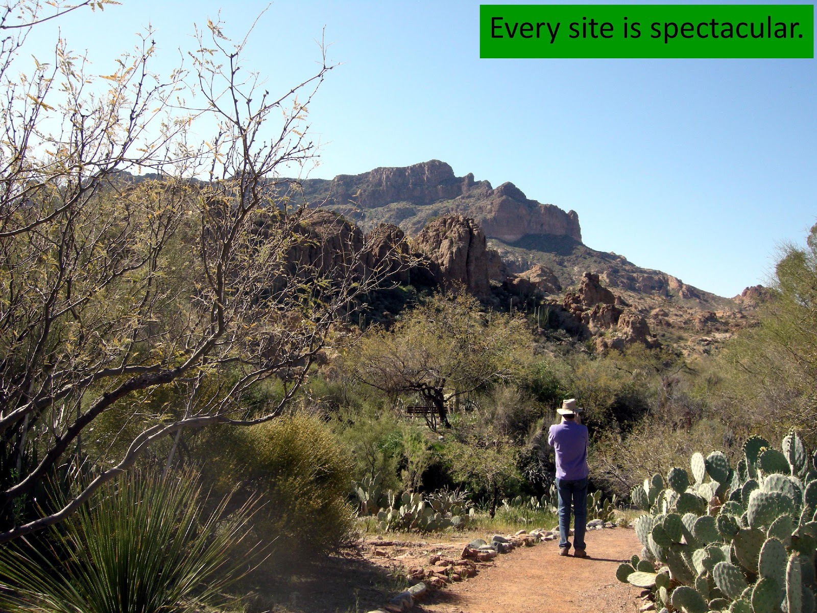
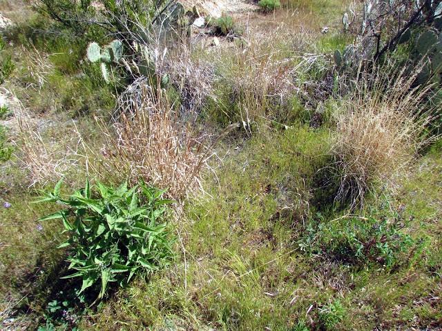
Our first site was the Lost Dutchman State Park, located in the shadow of Superstition Mountains. The Park is the reported location of a very rich gold mine hidden in the Mountains, near Apache Junction.
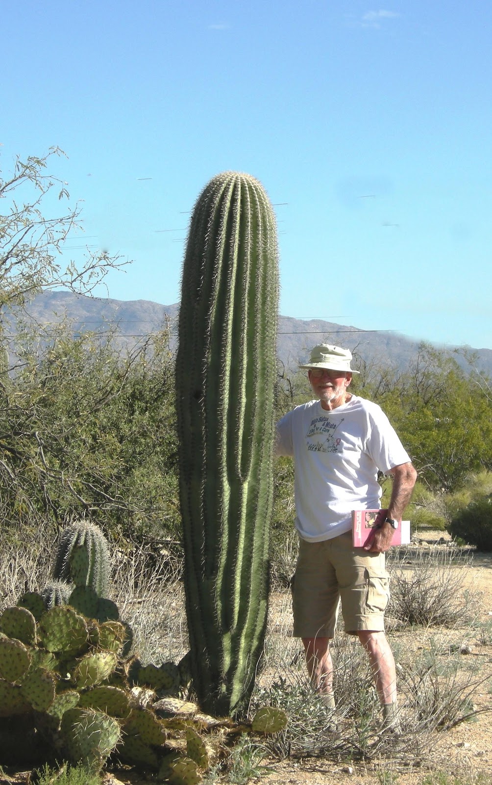
The mine is named after German immigrant Jacob Waltz. Dutchman was a common, though inaccurate; American slang term for German. This is perhaps the most famous lost mine in American history. As of 1977, the Lost Dutchman story was printed or cited at least six times more often than two other fairly well known tales, the story of Captain Kidd’s lost treasure, and the story of the Lost Pegleg mine in California. People have been seeking the Lost Dutchman mine since at least 1892. According to one estimate, 8,000 people annually made some effort to locate the Lost Dutchman’s mine. Some argued the mine has little or no basis in fact and is a legend. According to many versions of the tale, the mine is either cursed, or protected by enigmatic guardians who wish to keep the mine’s location a secret. To avoid the guardians we stepped carefully at this peaceful and beautiful park.
The Park is in Pinal County and MLRA 39.
| Scientific Name | PLANTS Common Name | Type | Origin |
| Acacia greggii A. Gray | catclaw acacia | Tree | Native |
| Ambrosia ambrosioides (Cav.) Payne | ambrosia leaf bur ragweed | Subshrub | Native |
| Ambrosia deltoidea (Torr.) Payne | triangle bur ragweed | Subshrub | Native |
| Amsinckia menziesii (Lehm.) A. Nelson & J.F. Macbr. | Menzies’ fiddleneck | Forb | Native |
| Anisacanthus thurberi (Torr.) A. Gray | Thurber’s desert honeysuckle | Shrub | Native |
| Baccharis salicifolia (Ruiz & Pav.) Pers. | mule-fat | Shrub | Native |
| Baileya multiradiata Harv. & A. Gray ex A. Gray | Desert marigold | Forb | Native |
| Bromus rubens L. | red brome | Graminoid | Introduced |
| Calandrinia ciliata (Ruiz & Pav.) DC. | Fringed redmaids | Forb | Native |
| Calliandra eriophylla Benth. | fairyduster | Subshrub | Native |
| Calycoseris wrightii A. Gray | white tackstem | Forb | Native |
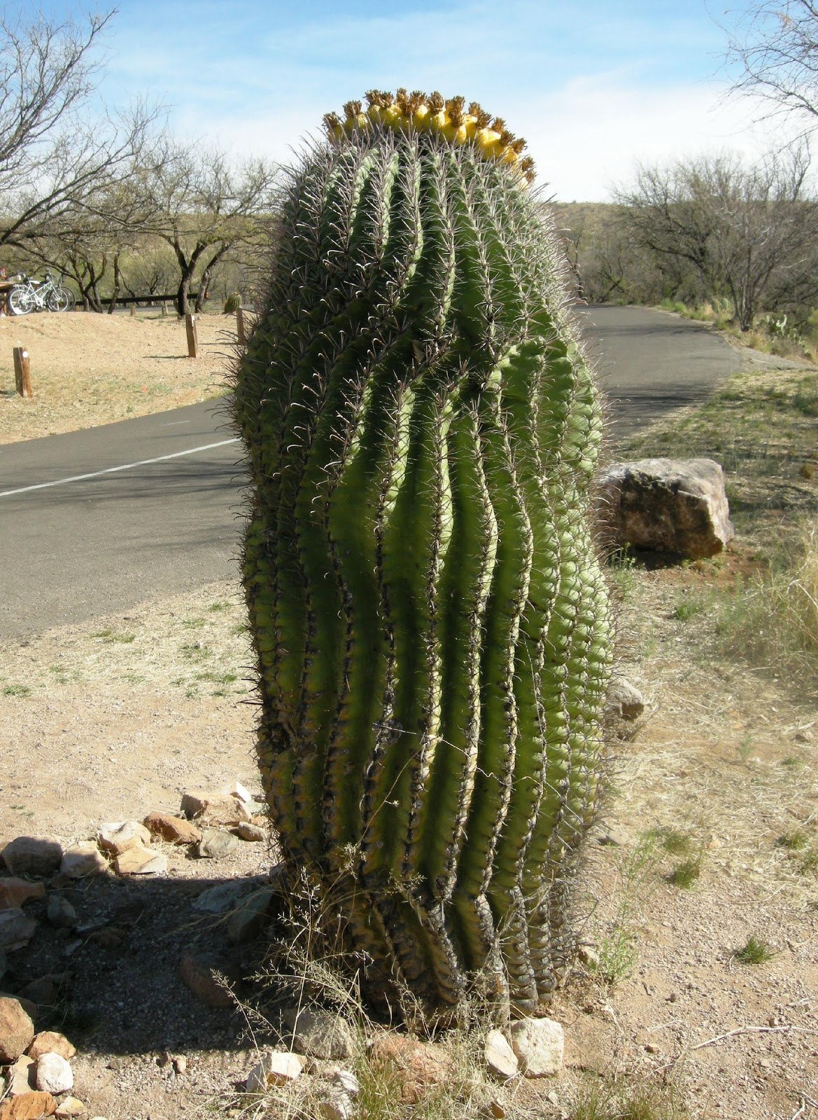
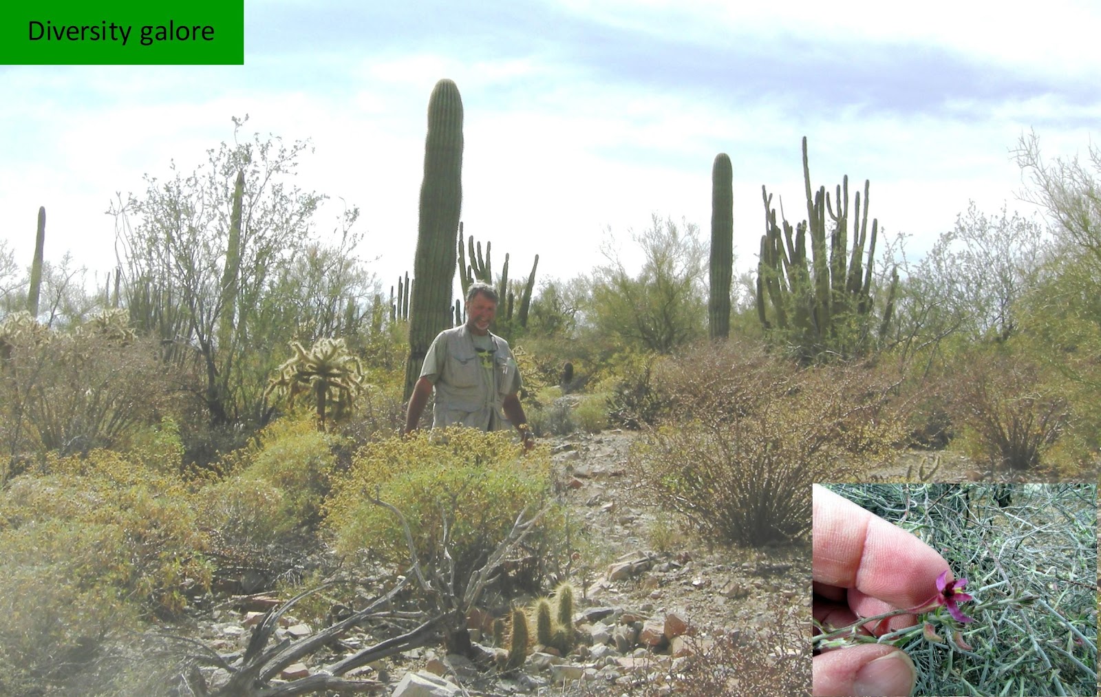
| Carnegiea gigantea (Engelm.) Britton & Rose | saguaro | Tree | Native |
| Celtis ehrenbergiana (Klotzsch) Liebm. | spiny hackberry | Shrub | Native |
| Cerastium L. | Mouse-ear chickweed | Forb | Introduced |
| Chamaesyce albomarginata (Torr. & A. Gray) Small | whitemargin sandmat | Forb | Native |
| Cryptantha angustifolia (Torr.) Greene | Panamint cryptantha | Forb | Native |
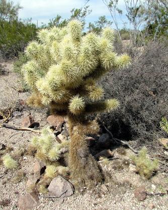
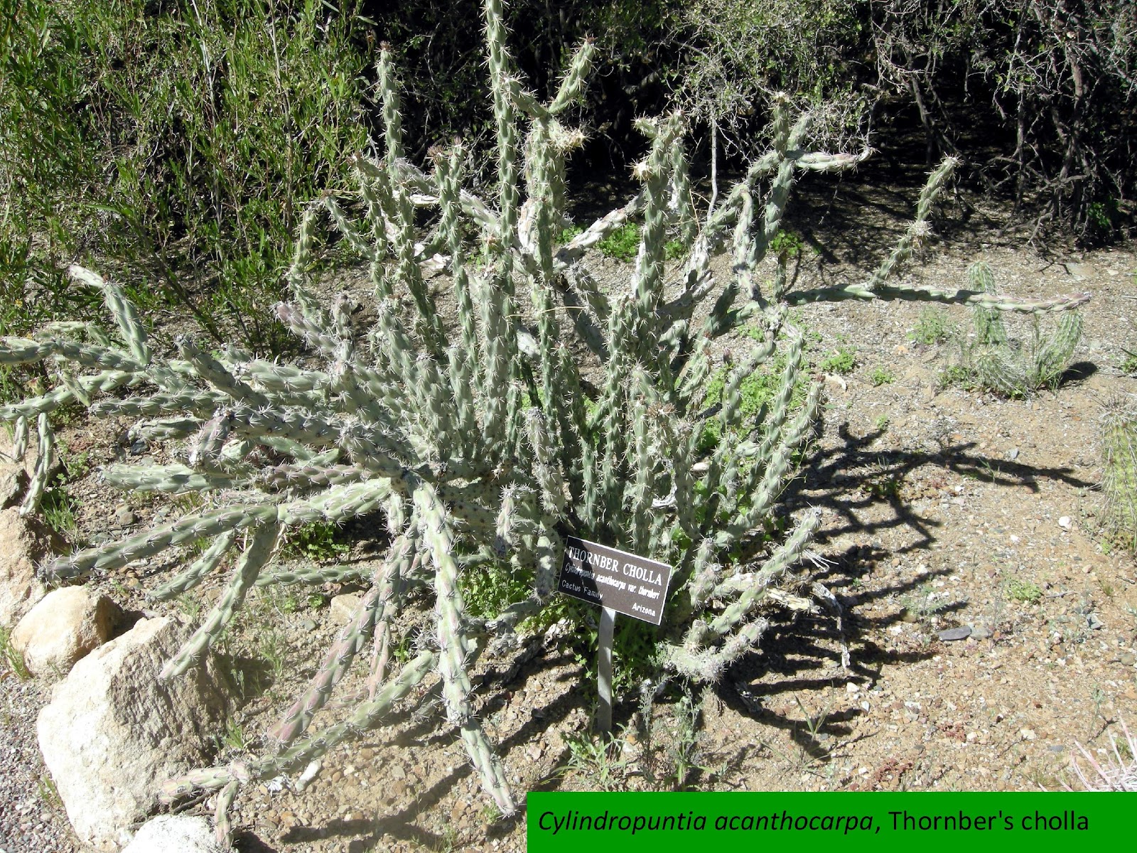
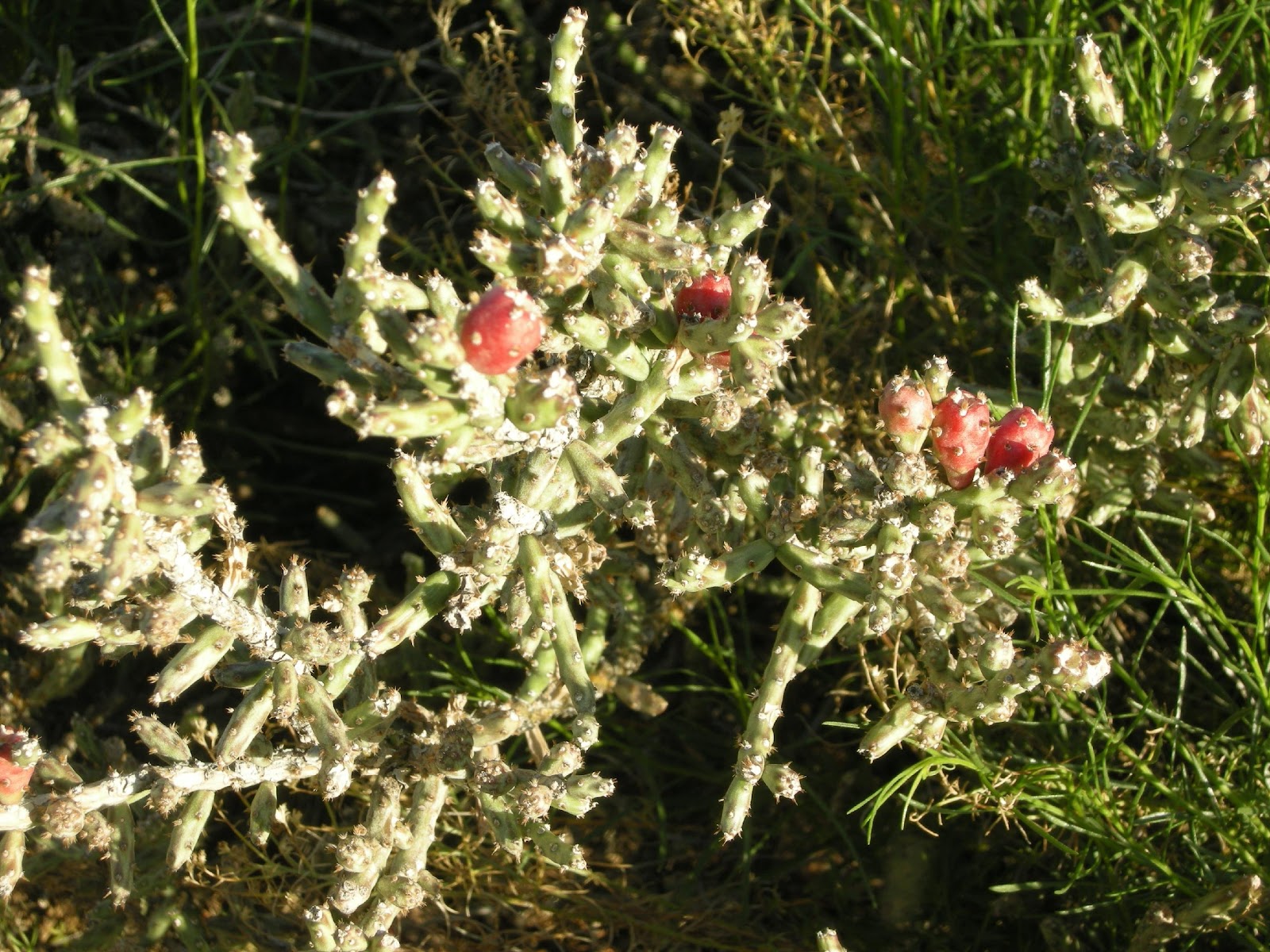
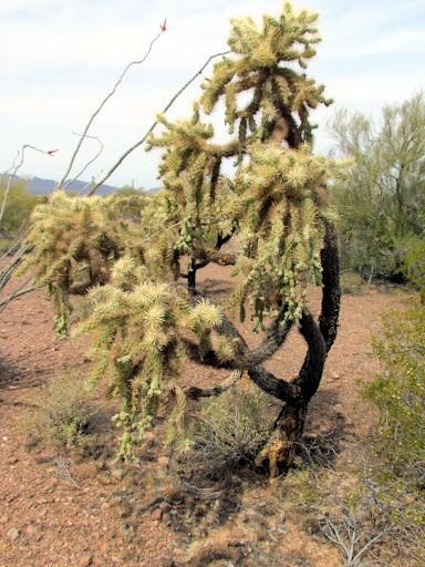
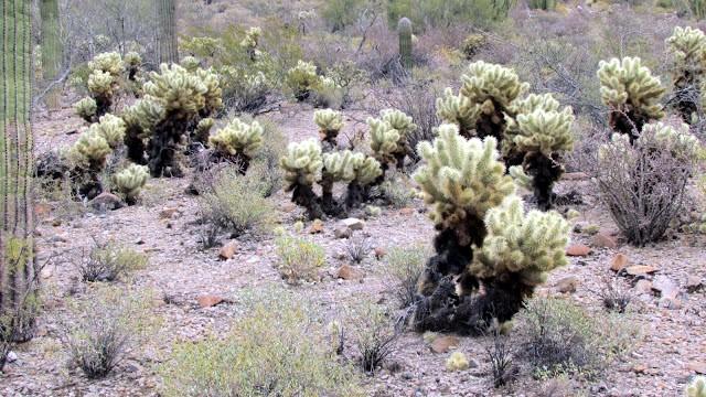
| Cylindropuntia acanthocarpa (Engelm. & J.M. Bigelow) F.M. Knuth | buck-horn cholla | Shrub | Native |
| Cylindropuntia fulgida (Engelm.) F.M. Knuth var. fulgida | jumping cholla | Shrub | Native |
| Descurainia pinnata (Walter) Britton | western tansymustard | Forb | Native |
| Dichelostemma capitatum (Benth.) Alph. Wood ssp. capitatum | bluedicks | Forb | Native |
| Echinocereus coccineus Engelm. var. arizonicus (Rose ex Orcutt) D.J. Ferguson | Arizona hedgehog cactus | Shrub | Native |
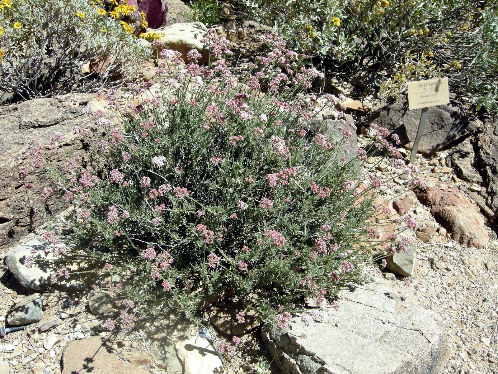
| Encelia farinosa A. Gray ex Torr. | brittlebush | Subshrub | Native |
| Ephedra trifurca Torr. ex S. Watson | longleaf jointfir | Shrub | Native |
| Eriogonum deflexum Torr. | flatcrown buckwheat | Forb | Native |
| Eriogonum fasciculatum Benth. | Eastern Mojave buckwheat | Subshrub | Native |
| Eriogonum fasciculatum Benth. var. polifolium (Benth.) Torr. & A. Gray | Eastern Mojave buckwheat | Subshrub | Native |
| Eriogonum palmerianum Reveal | Palmer’s buckwheat | Forb | Native |
| Erodium texanum A. Gray | Texas stork’s bill | Forb | Native |
| Eschscholzia californica Cham. | California poppy | Forb | Native |
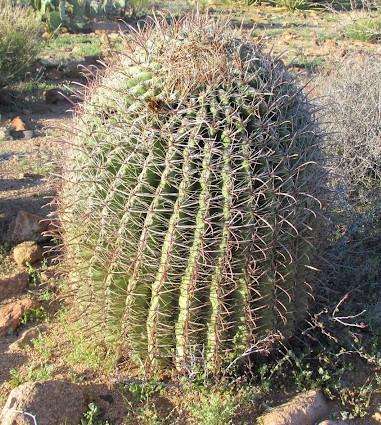
| Ferocactus wislizeni (Engelm.) Britton & Rose | barrelcactus | Shrub | Native |
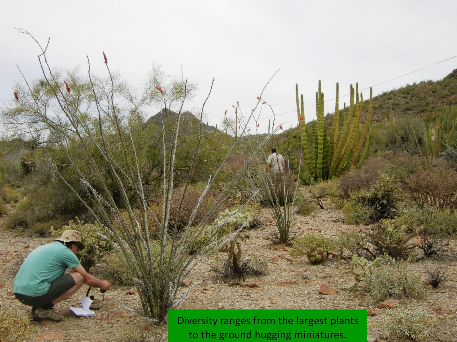
| Fouquieria splendens Engelm. | Ocotillo | Shrub | Native |
| Krameria grayi Rose & Painter | white ratany | Subshrub | Native |
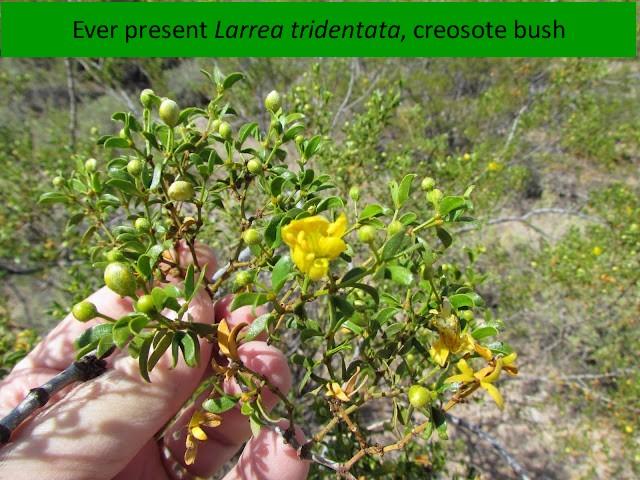
| Larrea tridentata (DC.) Coville | creosote bush | Shrub | Native |
| Lupinus arizonicus (S. Watson) S. Watson ssp. arizonicus var. arizonicus | Arizona lupine | Forb | Native |
| Lycium pallidum Miers | pale desert-thorn | Shrub | Native |
| Mammillaria tetrancistra Engelm. | common fishhook cactus | Shrub | Native |
| Nicotiana obtusifolia M. Martens & Galeotti | Desert tobacco | Subshrub | Native |
| Opuntia engelmannii Salm-Dyck ex Engelm. var. lindheimeri (Engelm.) Parfitt & Pinkava | Texas pricklypear | Shrub | Native |
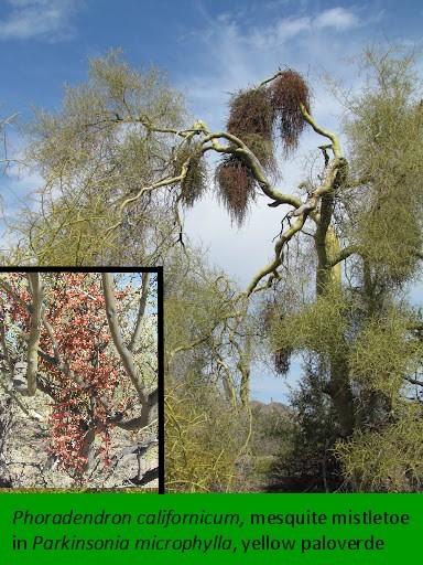
| Parkinsonia microphylla Torr. | Yellow paloverde | Tree | Native |
| Phacelia Juss. | phacelia | Introduced | |
| Phoradendron californicum Nutt. | mesquite mistletoe | Subshrub | Native |
| Plantago ovata Forssk. | Desert Indianwheat | Forb | Native |
| Prosopis velutina Woot. | velvet mesquite | Tree | Native |
| Salvia dorrii (Kellogg) Abrams ssp. dorrii var. dorrii | Purple sage | Subshrub | Native |
| Schismus barbatus (Loefl. ex L.) Thell. | common Mediterranean grass | Graminoid | Introduced |
| Senna bauhinioides (A. Gray) Irwin & Barneby | twinleaf senna | Subshrub | Native |
| Simmondsia chinensis (Link) C.K. Schneid. | Jojoba | Shrub | Native |
| Sphaeralcea coccinea (Nutt.) Rydb. | Scarlet globemallow | Forb | Native |
| unknown bush | |||
| unknown forb | |||
| unknown shrub | |||
| unknown white |


We departed Dutchman State Park late morning for Tortilla Flats, droving through about 10 miles of back country that would make West Virginia roads seem like super highways. We observer a constant stream of vehicles going in both directions, causing us to wonderful what marvelous things awaited us in. We never found out, but half of Arizona’s residence was in Tortilla Flats and the other half coming or going. The lunch room was crowded, the wait was tolerable, inventory sites scant and the food was good.
| Lunch Break at Tortilla Flats | |||
| Scientific Name | PLANTS Common Name | Type | Origin |
| Ambrosia ambrosioides (Cav.) Payne | ambrosia leaf bur ragweed | Subshrub | Native |
| Lotus rigidus (Benth.) Greene | shrubby deervetch or wiry lotus | Forb | Native |
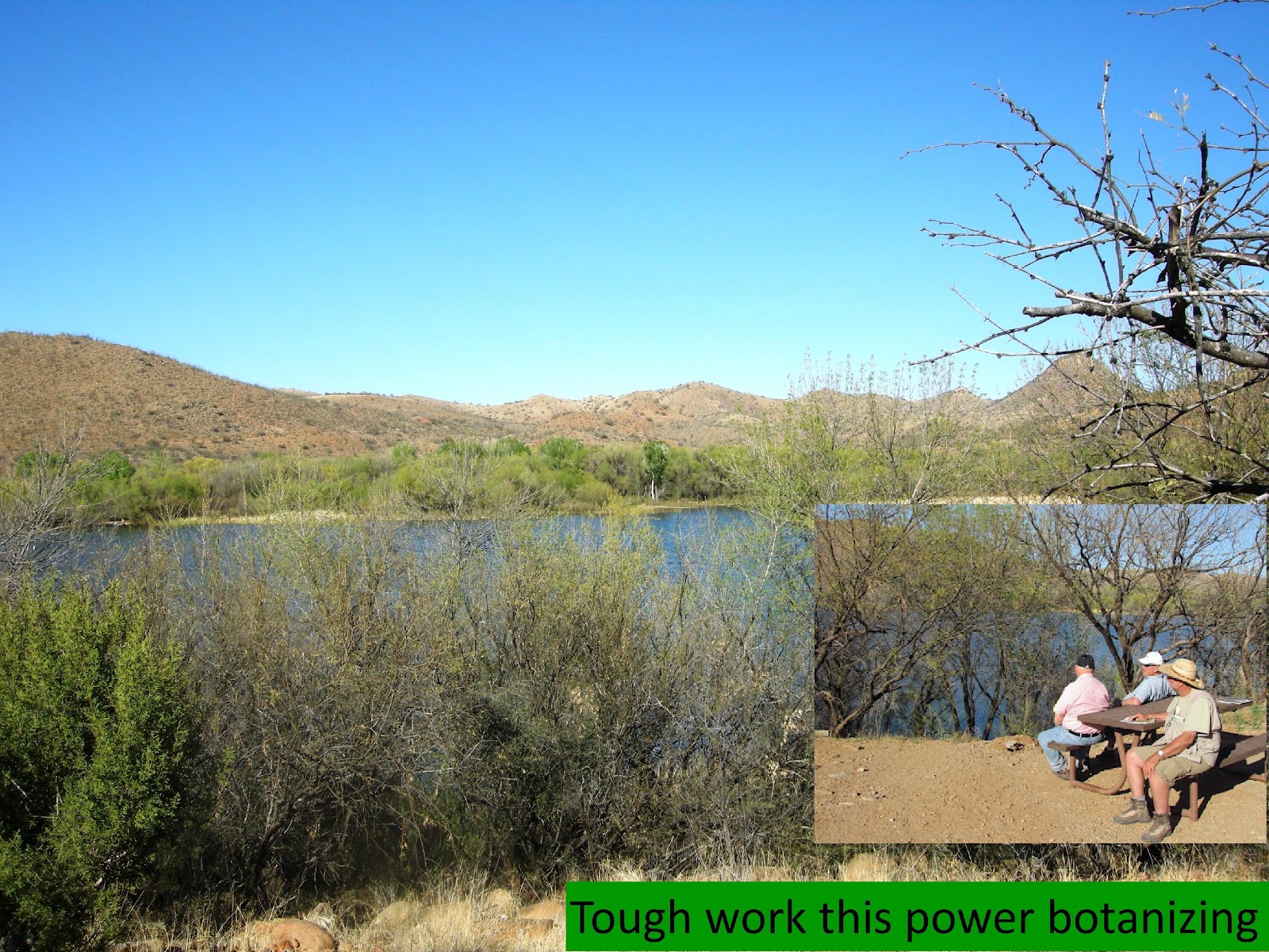
Continuing east on AZ Route 88, 47 miles later we arrived at Roosevelt Dam and Lake, which Mapquests estimates requiring 2 hours and 1 minute driving time. The views were spectacular and the weather perfect.
Inventory Site 2 – Roosevelt Dam and Lake
Theodore Roosevelt Dam is on the Salt River Northeast of Phoenix. The dam is 357 feet high and impounds the Salt River, creating Theodore Roosevelt Lake. Originally built between 1905 and 1911, the dam was renovated and expanded in 1989-1996. Serving mainly for irrigation water supply and flood control, the dam also has a hydroelectric generating capacity of 36 megawatts. One of the original five federal projects authorized on March 13, Roosevelt Dam is the world’ s highest masonry dam. The bridge, shown here, itself earned rare distinction when the bridge was named one of the top 12 bridges in the nation in November 1995.
The inventory site is in Gila County and MLRA 39.
Scientific Name Common Name Type Origin
| Acacia constricta Benth. | whitethorn acacia | Tree | Native |
| Acacia neovernicosa Isely | viscid acacia | Shrub | Native |
| Ambrosia ambrosioides (Cav.) Payne | ambrosia leaf bur ragweed | Subshrub | Native |
| Amsinckia menziesii (Lehm.) A. Nelson & J.F. Macbr. | Menzies’ fiddleneck | Forb | Native |
| Aristida purpurea Nutt. | purple threeawn | Graminoid | Native |
| Baileya multiradiata Harv. & A. Gray ex A. Gray | desert marigold | Forb | Native |
| Bouteloua curtipendula (Michx.) Torr. | sideoats grama | Graminoid | Native |
| Bromus rubens L. | red brome | Graminoid | Introduced |
| Condalia globosa I.M. Johnst. | bitter snakewood | Tree | Native |
| Cryptantha Lehm. ex G. Don | cryptantha | Forb | Introduced |
| Cylindropuntia acanthocarpa (Engelm. & J.M. Bigelow) F.M. Knuth | buck-horn cholla | Shrub | Native |
| Cylindropuntia fulgida (Engelm.) F.M. Knuth var. fulgida | jumping cholla | Shrub | Native |
| Dichelostemma capitatum (Benth.) Alph. Wood ssp. capitatum | bluedicks | Forb | Native |
| Encelia farinosa A. Gray ex Torr. | brittlebush | Subshrub | Native |
| Ericameria laricifolia (A. Gray) Shinners | turpentine bush | Subshrub | Native |
| Eriogonum fasciculatum | Eastern Mojave buckwheat | Subshrub | Native |
| Ferocactus wislizeni (Engelm.) Britton & Rose | barrelcactus | Shrub | Native |
| Krameria grayi Rose & Painter | white ratany | Subshrub | Native |
| Lupinus sparsiflorus Benth. | Coulter’s lupine | Forb | Native |
| Lycium pallidum Miers | pale desert-thorn | Shrub | Native |
| Melilotus officinalis (L.) Lam. | sweetclover | Forb | Introduced |
| Opuntia engelmannii Salm-Dyck ex Engelm. var. lindheimeri (Engelm.) Parfitt & Pinkava | Texas pricklypear | Shrub | Native |
| Orthocarpus purpureoalbus A. Gray ex S. Watson | purplewhite owl’s-clover | Forb | Native |
| Palafoxia arida B.L. Turner & Morris | desert palafox | Subshrub | Native |
| Parkinsonia florida (Benth. ex A. Gray) S. Watson | blue paloverde | Tree | Native |
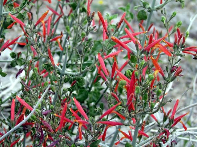
| Penstemon eatonii A. Gray | firecracker penstemon | Forb | Native |
| Peucephyllum schottii A. Gray | Schott’s pygmycedar | Tree | Native |
| Plantago ovata Forssk. | desert Indianwheat | Forb | Native |
| Simmondsia chinensis (Link) C.K. Schneid. | jojoba | Shrub | Native |
| Sphaeralcea ambigua A. Gray | desert globemallow | subshrub | Native |
| Sphaeralcea coccinea (Nutt.) Rydb. | scarlet globemallow | Forb | Native |
| Viguiera stenoloba S.F. Blake | resinbush | Subshrub | Native |
| Vulpia myuros (L.) C.C. Gmel. | annual fescue | Graminoid | Introduced |
We reached our lodging in Globe, AZ sometime after dark, and took our dinner in a very nice Italian restaurant.
Day 2 – Monday, March 11

Inventory Site 3 and 4 – Boyce Thompson Arboretum
We departed Globe early, passing current and reclaimed mining sites. The town site of Globe City was established in 1876. Mining in the area started with silver but had transitioned to copper by the late 1880s. Globes remoteness and proximity to Indian Territory resulted in many years of stage robberies, murders, and violent conflicts with Indians. Many famous outlaws called Globe home. Not until World War I did Globe start to become more civilized, making this the longest holdout of the “Wild West” era.
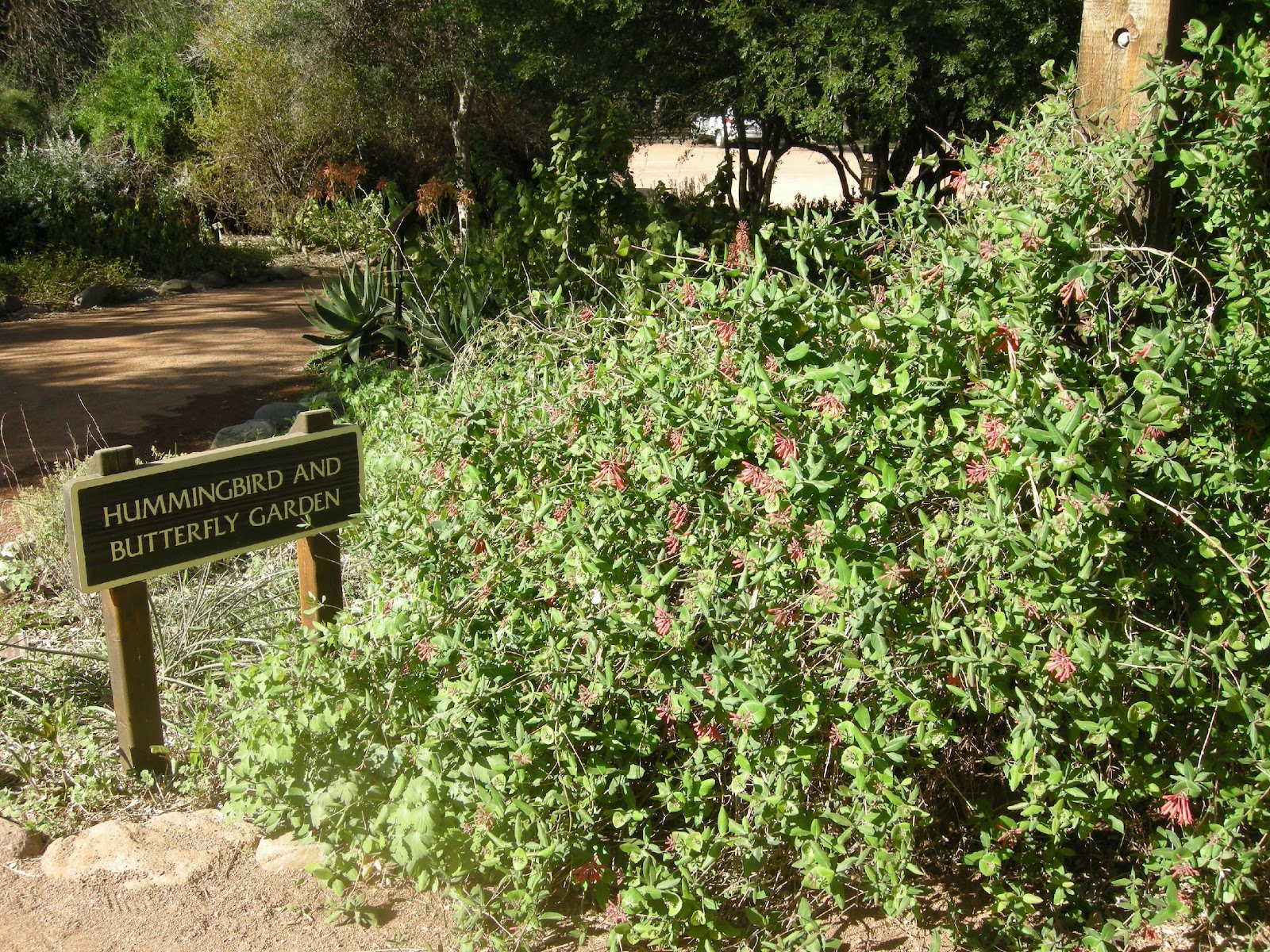
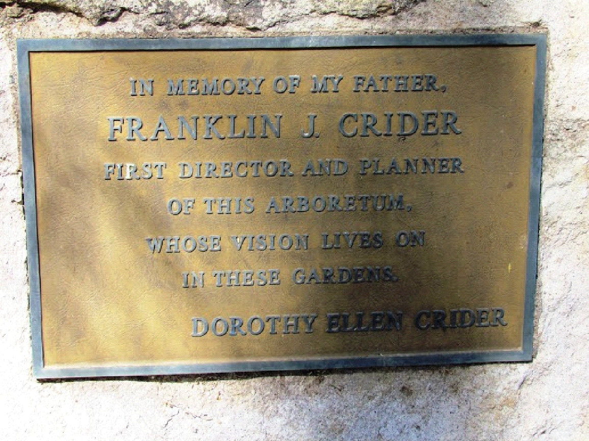
Our first destination was Superior, home of the Boyce Thompson Arboretum. En route we passes which is a special place for SCS plant materials people. In the early 1920s William Boyce Thompson, after years of mining in Montana and making his fortune on Wall Street, found his greatest interest in a new home he was building in the Arizona hills, near the town of Superior in what came to be known as his Picket Post house. His desire to plant a few trees in this new climate led the Colonel to contact the University of Arizona. Dr. Crider was the head of the Horticultural Department at that time. He came up to assist the Colonel and what started as an idea for a few trees became an idea for an arboretum of all the plants and trees of the Southwest.

Coronal Thompson established the Arboretum in 1924 and picked Dr. Crider as its director. An initial mission of the Arboretum was to study the plants of desert countries and to make the results available to the public. Crider developed a cooperative program at the Arboretum whereby a large nursery of erosion control plants was established for planting on government land where erosion had become a problem. The success of the nursery let to his employment by the new Soil Conservation Service in 1935 as regional director of SCS Nurseries in the Southwest and then chief of the Nursery Division in Washington in January 1936. The Observational Nursery part of the Nursery Division later became the PMC Program.

Superior is in Pinal County and MLRA 39.
Scientific Name Common Name Type Origin
(note the above will go away when insert inventory pages)


As we departed another guest took our picture at the memorial to Dr. Crider

Following this wonderful inventorying of the arboretum we drove into Superior for lunch. Except for Bob having a little trouble and requiring a brief period of restraint, it was a most pleasant, outdoor one. On the way to our next inventory site Wendall decided he needed to get some pictures of a California poppy filled hillside. Since he was driving we all decided to stop. It was well worth it.

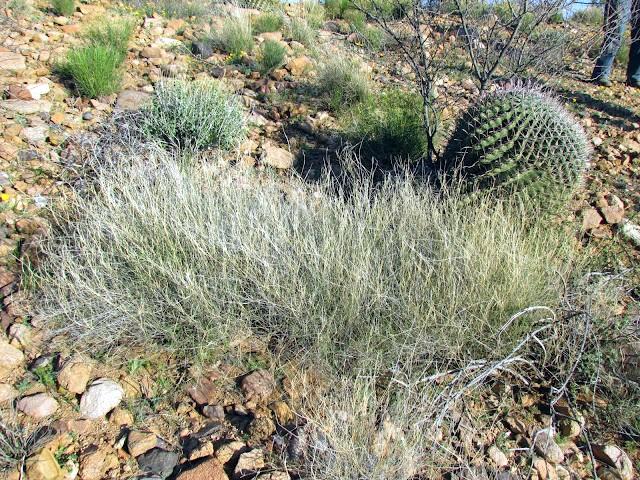
Inventory Site 5 – San Carlos Reservoir Recreational Area
First we drove to the Calvin Coolidge dam and then made the inventory, which is in Pinal County and MLRA 40 near the border of 41.


The dam, not only impressive for its water holding value, is set in an entrancing location with beauty of its own. Leaving the dam we backtracked to a higher elevation for the inventory, which had starkness about it, maybe due to the sparseness of vegetation and abundance of surface rocks, or the lateness of the day.

Scientific Name Common Name Type Origin
(note the above will go away when insert inventory pages)
Inventory complete we drove some 50 miles south, arriving in Stafford around 8:00PM, had a drink, ordered in pizza and resolved any remaining question on fracking.
Day 3 – Tuesday, March 12
Inventory Site 6 – Roper Lake State Park
Oh what a beautiful day. Our first inventory at Roper Lake State Park was only a few mile south of Stafford on US Route 191. It didn’t take long to get to work.
The site is in Graham County and MLRA 41. For a number of years Graham County had been working with its legislators to have a State Park in their county. In 1972, a bill authorized the acquisition of Roper Lake as a State Park. The bill also included authorization to construct a lake and appropriated $150,000 for the construction of a 100 surface acre lake. On December 31, 1974, Roper Lake State Park became official. This Park opened to the public in March 1975 and includes 338 acres.
Scientific Name Common Name Type Origin
(note the above will go away when insert inventory pages)


Inventory complete we continued south to Wilcox, visited the field office there, secured a box lunch and headed for the homeland of the Chiricahua.
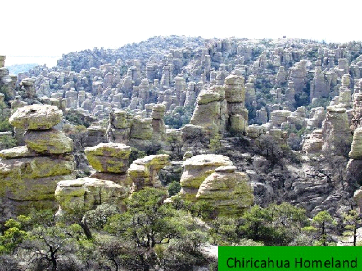
Chiricahua National Monument, a unit of the NPS, is located in the Chiricahua Mountains. It is famous for its extensive vertical rock formations. The national monument also preserves the Faraway Ranch, owned at one time by Swedish immigrants Neil and Emma Erickson. Geologists believe that it preserves the remains of an immense volcanic eruption that shook the region some 27 million years ago. The thick white-hot ash spewed forth from the nearby Turkey Creek Caldera, cooled and hardened into rhyolite tuffs, laying down almost two thousand feet of dark volcanic ash and pumice, which eventually eroded into the natural features visible at the monument today.

This area was part of the traditional homeland of the Chiricahua Band of the Apache Indian nation. The Chiricahuans had numerous clashes with settlers and travelers during the 19th century, many resulting (or so the Chiricahuans claimed) from the “white man’s” violation of previously negotiated treaties. The Apache leaders Cochise and Geronimo were members of the Chiricahua Band. Territory of the monument was used as a safe haven by the Chiricahuans until the cessation of hostilities. Many place names in southern Arizona date to this conflict and memorialize its more illustrious figures.
The Monument is in Cochise County and MLRA 41.
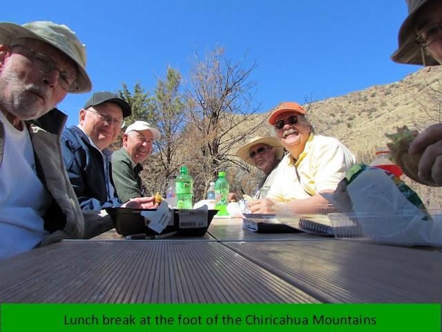
Inventory Site 7 – Chiricahua National Historic Monument, Picnic Area (5400 ft.), disturbed and
The first site within the monument was a picnic area close to the entrance. It had been recently constructed, leaving a revegetated area. We enjoyed our lunch, identified a few plants and headed up the mountain.
Scientific Name Common Name Type Origin
Inventory site 8 – – Chiricahua National Historic Monument, Massai Point 6780 ft.
Scientific Name Common Name Type Origin

This is one of those beautiful spots everyone hates to leave. It is easy to understand why Cochise was upset.
The night was spent in Bisbee where we enjoyed a beautiful sunset, dined again on excellent Mexican food and toured the city Bisbee.

Day 4 – Wednesday, March 14
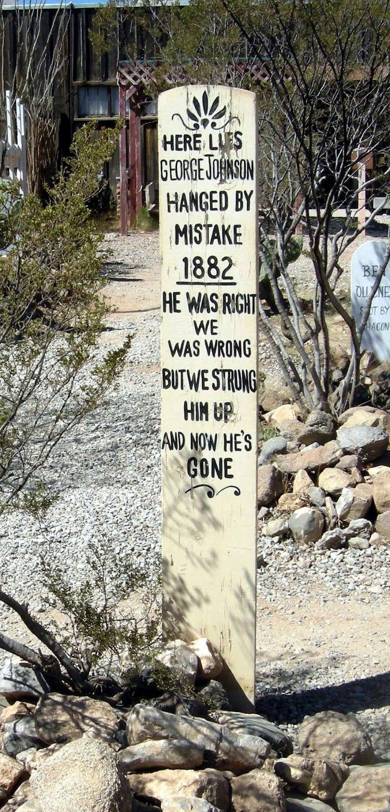
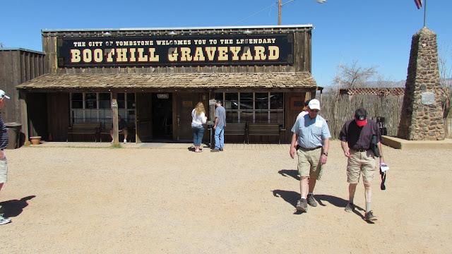
After a quick trip to the U.S. Mexican border we lingered awhile at the OK Corral and the Boothill Cemetery in Tombstone

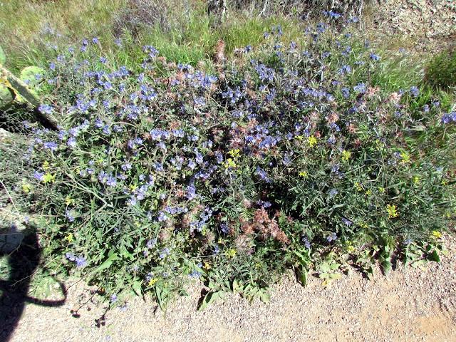
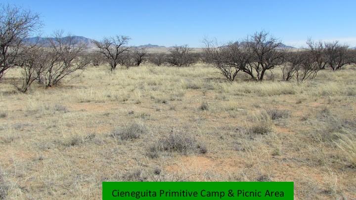
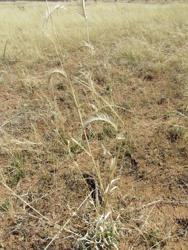
By 12:30 PM we entered the rolling grasslands of Las Cienegas National Conservation Area. This area, once facing an uncertain future that almost certainly included housing and commercial development, today more than 45,000 acres of grasslands and woodlands in Arizona’s Pima and Santa Cruz counties (MLRA 41) are protected as a National Conservation Area, managed by the USDI, Bureau of Land Management. President Clinton signed a bill creating it on December 6, 2000. Being preserved are the region’s rolling grasslands, oak-studded hills that connect several “sky island mountain ranges”, and lush riparian corridors. Cienega Creek, with its perennial flow forms the lifeblood of the Conservation Area and supports a diverse plant and animal community. Without a doubt this was grassland high point of Trek V.
In advance of arriving Larry suggested it was one of the best grasslands in AZ. Two inventories were done. Site 1 was the sparser of the two.
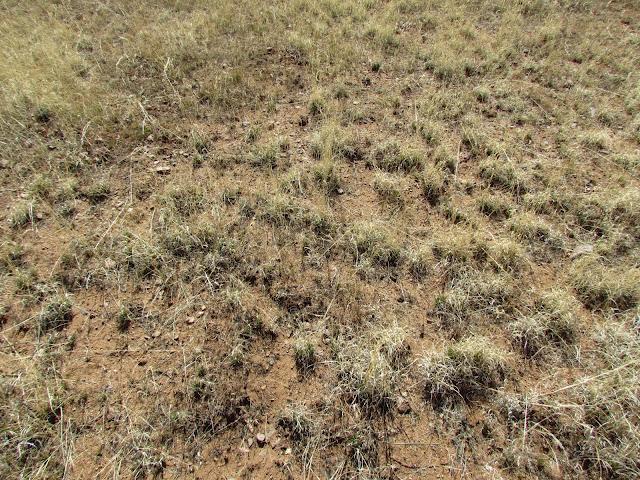
Inventory 9 – Las Cienegas National Conservation Area, Cieneguita Primitive Camp & Picnic Area, Site 1
This soil at the first site was sandier than the second, which was reflected in the vegetation.
Scientific Name Common Name Type Origin
(note the above will go away when insert inventory pages)
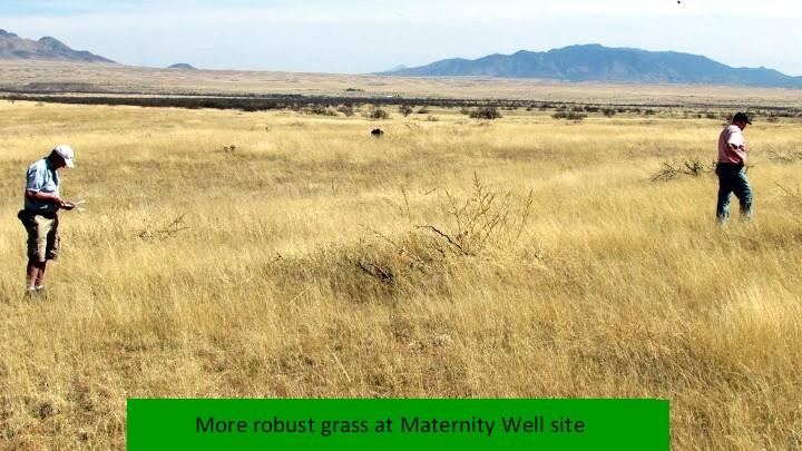
While on the same National Conservation Area, we moved west to the Maternity Well site.
Inventory 10 – Las Cienegas National Conservation Area, Maternity Well, Site 2
Scientific Name Common Name Type Origin
(note the above will go away when insert inventory pages)

From this we continued south towards Nogales, for our next inventory.
Inventory Site 11 – Patagonia Lake State Park
Patagonia Lake and the associated recreation facilities were constructed in the late 1960’s by a group of citizens incorporated as the Lake Patagonia Recreation Association, Inc. As early as 1972, an adjacent land owner contacted State Parks offering to sell the acreage surrounding the Patagonia Lake and to assist the Agency in the acquisition of the lake and recreational improvements held by the Association. House Bill 2295 passed the Legislature and was signed into law on May 13, 1974, by Governor “Jack” Williams that established the state park, authorized its acquisition and appropriated the required amount of money. After working through lengthy, complex negotiations, Patagonia Lake was acquired by State Parks on February 3, 1975, and officially opened as Patagonia Lake State Park on April 1, 1975.
The inventory site consisted to a walking trail through a wooded area and along the park lake.
Scientific Name Common Name Type Origin
(note the above will go away when insert inventory pages)
(Picture needs name and ‘found just
outside inventory site in picnic area.”
A very pleasant inventory, followed by an ice cream cone, resulted in the following plants being identified.
We headed north about 5:00 PM, arriving in Tucson by 6:30. An hour or more we found an out-of-the-way, but very nice, motel in our price range.

Day 5 – Thursday, March 15
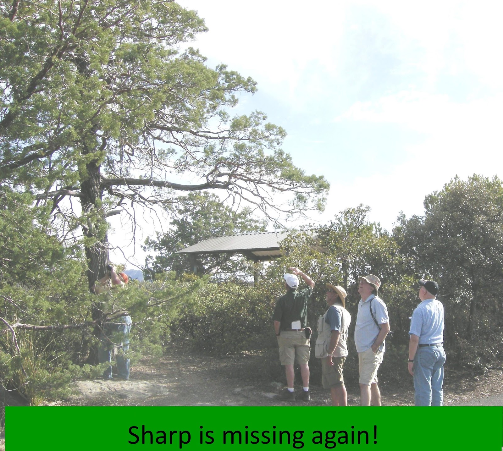
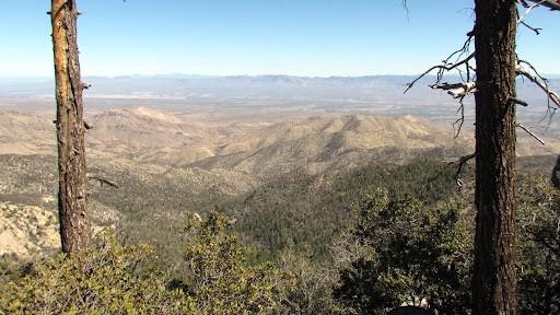
Hassell was dropped off on our way to the first inventory site to chase some silly notion of eradicating bufflegrass from the Big Ben National Park in Texas. We proceeded on, experiencing as beautiful a scenic drive as one will experience even in West Virginia. We drove through the Saguaro Park and up the Catalina Mountain Highway to Summerhaven, where the first brief inventory was made (Inventory 12) A few stops were made on the way back at approximately 7500 feet elevation, which are Inventory 13.
It appears Hassell has in Arizona with the eradication effort. The following sign appears along the way to Summerhaven.
Inventory 12 – Catalina Mountain Highway (Mt. Lemmon), at Sky Resort
Scientific Name Common Name Type Origin
(note the above will go away when insert inventory pages)
The Catalina Mountain sites (Inventory 12 and 13) yielded a rather limited number of species, due in part to the time required to make the round trip and, as usual, our need to hurry. This did not alter the spectacular views for all and especially for those making the trip for the first time. For example:

Inventory 13 – Catalina Mountain Highway (Mt. Lemmon), at 7500′
Scientific Name Common Name Type Origin
(note the above will go away when insert inventory pages)
Prior to lunch we picked up Hassell, who immediately started soliciting volunteers to help with his eradication project. Even though some of us continues to recognize the outstanding contribution buffelgrass has and is making, Hassell remained so generous as to allow us to join his team, even at our own expense.
Following another delicious Mexican lunch we headed for the Sabino Canyon trail. An earthquake centered in northern Mexico in 1887 dislodged an array of massive boulders lining the canyon walls, which crashed down and came to rest in the valley below. Our time limited us to only a small portion of available trails, but it was fruitful.
Inventory 14 – Sabino Recreation Area and Canyon trail
Must add plt. Name and comment
Scientific Name Common Name Type Origin
(note the above will go away when insert inventory pages)
(many great pictures to add here and elsewhere.)
This evening the beef eaters selected a file dining experience.
Day 6 – Friday, March 16
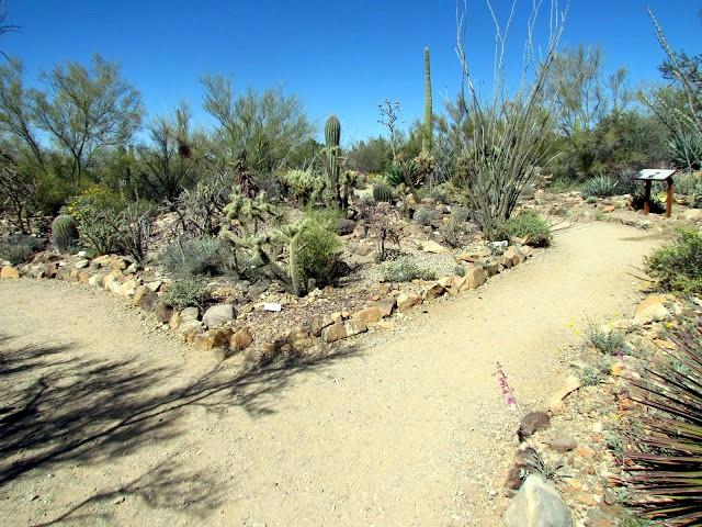
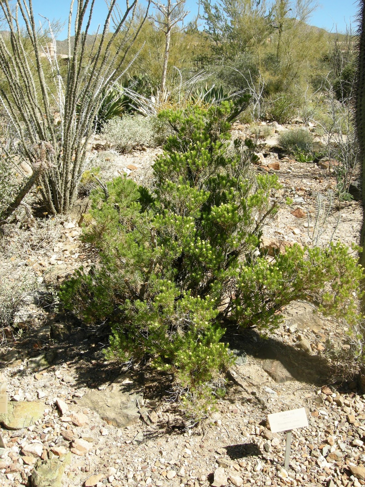
Friday morning found us west of Tucson at the Sonora Desert Museum. This museum is a world class facility, offering far more than can be absorbed in a day or week. Our morning there was indeed an inventory, complete with name tags. As the pictures will attest, it is a plant person’s paradise. Our power botanists took the morning off.
Inventory 15 – Desert Museum
Scientific Name Common Name Type Origin
(note the above will go away when insert inventory pages)


Following a quick and late lunch at the Museum we headed to the Tucson PMC. There we were greeted by ex manager Bruce Munda, currently Plant Materials Specialist, and Assistant Manager Heather Dial. Unfortunately, Manager Manuel Rosales was on vacation. We enjoyed a pleasant tour and even searched the archives a little for information on Dr. Crider. Of course Larry and Wendell had served as manager there in bygone days, so they enjoyed a homecoming.

Inventory 16 – Tucson PMC
Scientific Name Common Name Type Origin
(note the above will go away when insert inventory pages)
Gracious to a fault, Bruce invited us all over to his home to meet his wife (?? help here) and sample his homemade beer. It required several bottles of sampling but in the end he got thumbs up from all. Then off to dinner with Jack and Larry in charge of the Margarita’s. That was a mistake.
Day 7 – Saturday, March 17
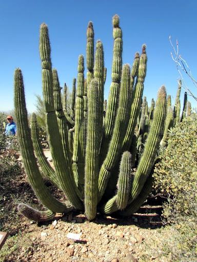
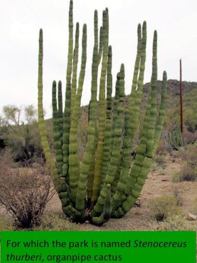
Inventory 17 – Organ Pipe Cactus National Monument
On our last day in the field we headed west from Tucson on Route 86 to Why, than south to the Organ Pipe Cactus National Monument, created on April 13, 1937 as a way to preserve a representative area of the Sonoran Desert. The new monument was part of a movement in the National Parks to protect not just scenic wonders but also the ecological wonders.
Organ Pipe Cactus National Monument is the site of cultural resources that reflect long, widespread and diverse occupations by American Indian, Mexican, and European groups. The intersection of these three cultures is significant archaeologically, geographically, and internationally. Evidence of these cultures still remains today, and as you explore the monument, one cannot help but imagine what life was like living in the Sonoran Desert.
To the local Native Americans, the land of Organ Pipe Cactus National Monument was an important cultural center. Hohokam trade routes bisect what is now the monument, and allowed for ease of movement through the Sonoran Desert as people looked to acquire resources and trade with neighboring cultures. To the O’Odham people, the fruits of saguaro and organ pipe cactus provided food during the hot Sonoran summer.
The site is in Pima County and MLRA 40.
Scientific Name Common Name Type Origin
(note the above will go away when insert inventory pages)


The site was beautiful, ample wildflowers, pleasant weather and endless inventory potential. Unfortunately time does not stop.
Had the day been longer and the road shorter we would have done an inventory at the Casa Grande Ruins Monument. Regrettably, around 5:15 PM we learned they closed at 5:00, so we headed to Phoenix and our last Trek V evening.
The End
From the Lost Dutchman State Park to Organ Pipe Cactus National Monument was indeed a pleasurable and memorable experience. Following the resolution of report responsibilities and next year’s location, we departed, already anxious for the 2013 visit to the coastal range, foothills and valleys of California. The scheduled date, coinciding with the end of the rainy season, is during late March or early April. (Note, is this what we said?)

Leave a comment